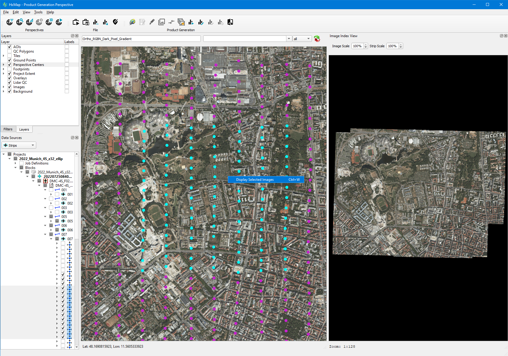
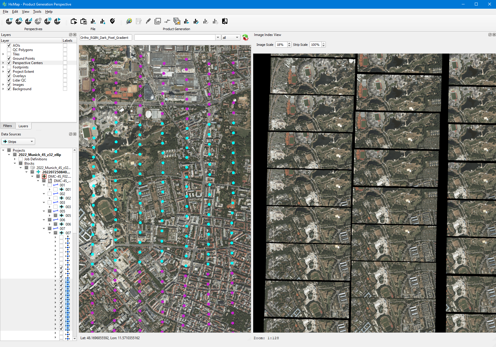
The Image Index Viewer allows to assess radiometry for a selection of images in the project. Images displayed in the viewer are oriented relative to ground space. Two image scaling modes are possible to support assessment of individual images within a strip and between strips.
Controls for Image Index Viewer
|
Task |
Steps |
Example |
|---|---|---|
|
Load Images to Viewer |
|
|
|
Scale Images in Viewer |
|
|
-
Only Nadir image swaths will be displayed in the Image Index Viewer