Upcoming workflow steps such as aerotriangulation or ortho rectification based on direct georeferencing require a HxMap session georeferenced based on a post-processed trajectory and system calibration with correct misalignment angles of the sensors in the mapping system.
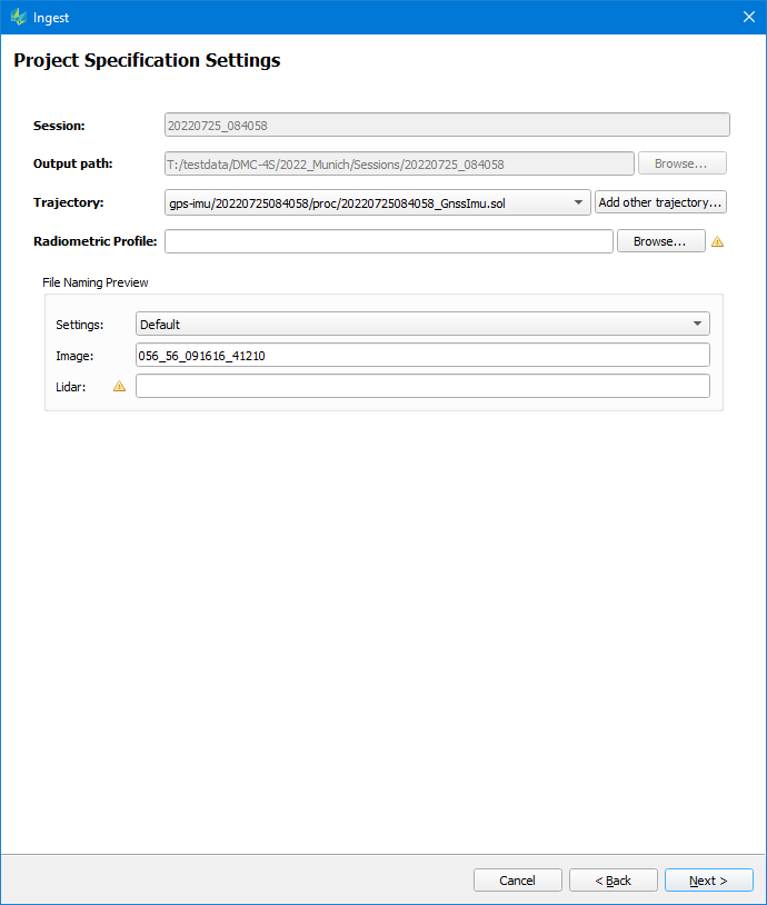
HxMap allows to update the direct georeference of images in a processed session, in case the final trajectory or misalignment angles were not available at initial ingest. Load the processed session in Session Perspective, and launch the Ingest wizard. The dialog will now show only the possibility to Update Georeference.
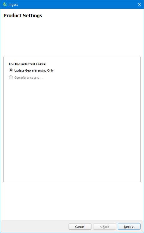
The option to update the georeference of a processed session is not available in case of a LiDAR or hybrid sensor, as a georeference update would require a re-processing of the point cloud as it is done during a full Ingest.
Accurate direct georeferencing during HxMap ingest depends on a correct lever arm value between the GNSS Antenna and PAV reference location. Verify the GNSS reference lever arm used in trajectory processing is correct for the aircraft.
Specific differences of the Ingest wizard for Update Georeferencing are shown below.
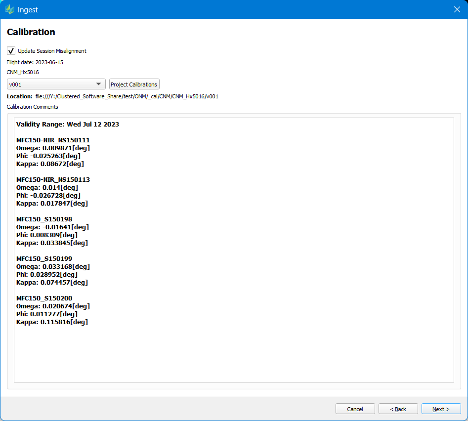
Update Session Misalignment
-
Misalignment angles are calculated in Triangulation perspective
-
Check the dialog option “Update Session Misalignment” to choose a new calibration with the updated misalignment values
-
Precise trajectory information is computed in Inertial Explorer and store as solution (*.sol) file.
-
Click dialog button “Add other trajectory” to browse to the new .sol file.