Extracting GNSS/IMU data
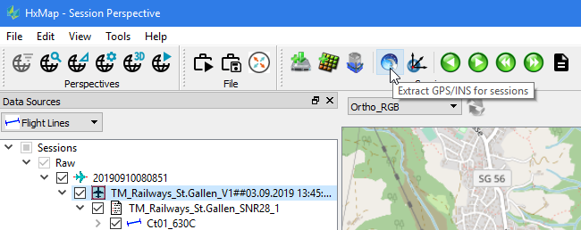
After selecting an entire session or flight lines from Data Sources view for further processing, the GNSS/INS data extraction icon on the menu bar becomes active.
Click the icon for opening Extract GNSS/INS dialog and select the Destination folder into which the Session folder will be created. GNSS/INS data will be extracted into the subfolder of the Session folder.
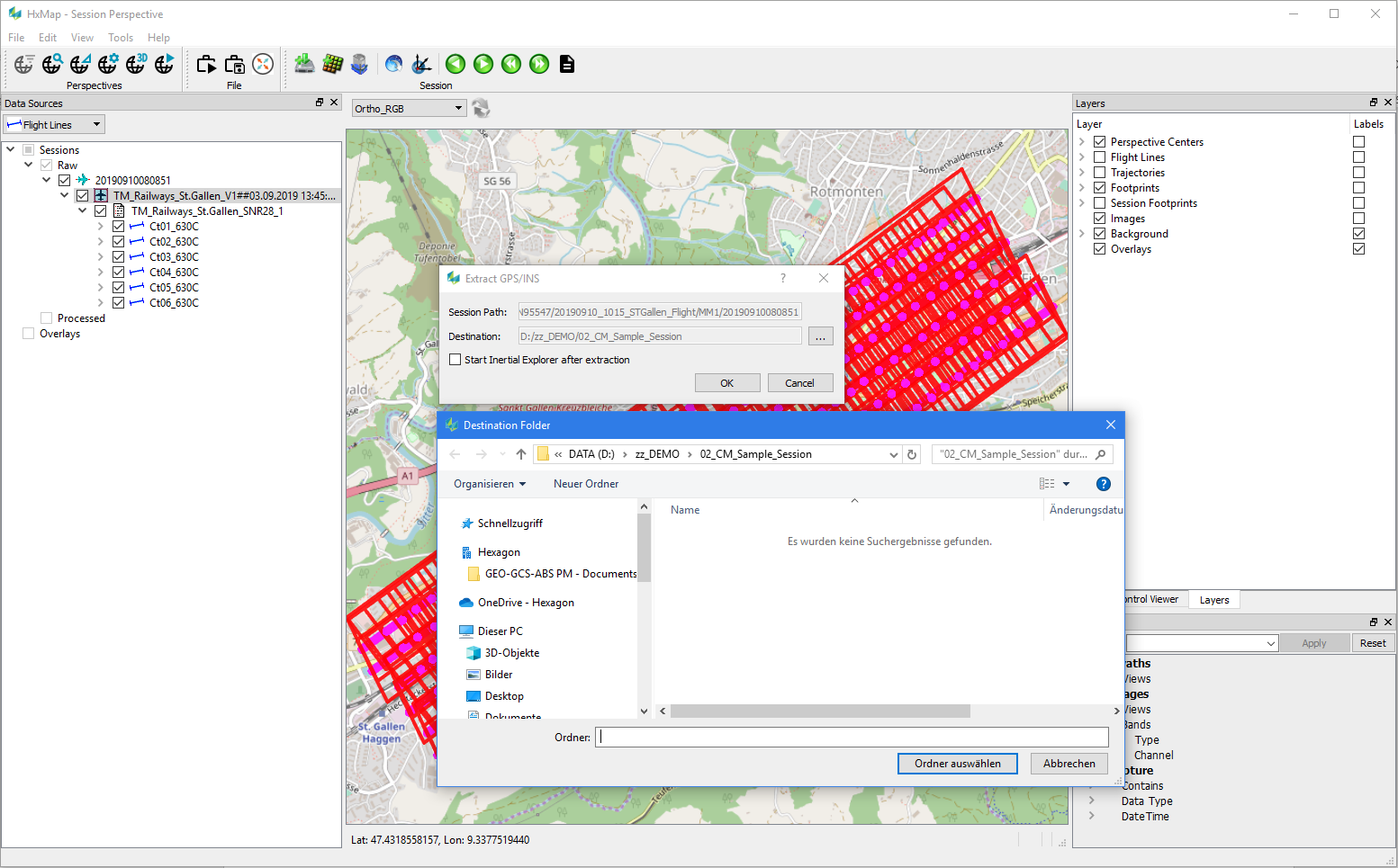
User has option to extract and process the GNSS/INS data for precise trajectory or, alternatively, to perform the Ingest step of georeferencing the images with the already available Real Time GNSS/INS trajectory (extracted to the 'Extract' subfolder of the Session folder) and thus skipping the GNSS/INS post-processing.
In case GNSS/INS post-processing is intended, then check in the 'Start Inertial Explorer after extraction' box and process the precise trajectory.
Accurate direct georeferencing during HxMap ingest depends on a correct lever arm value between the GNSS Antenna and PAV reference location. Verify the GNSS reference lever arm used in trajectory processing is correct for the aircraft.