DEM Editor is a special view in Product Generation perspective for viewing and editing Digital Elevation Models.
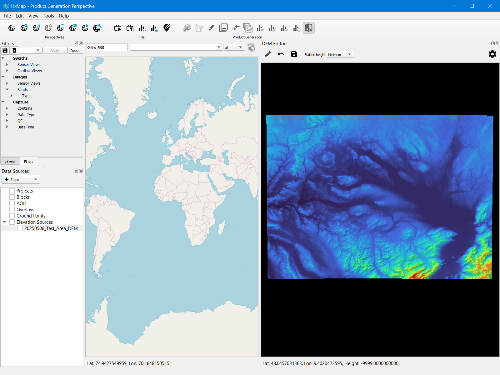
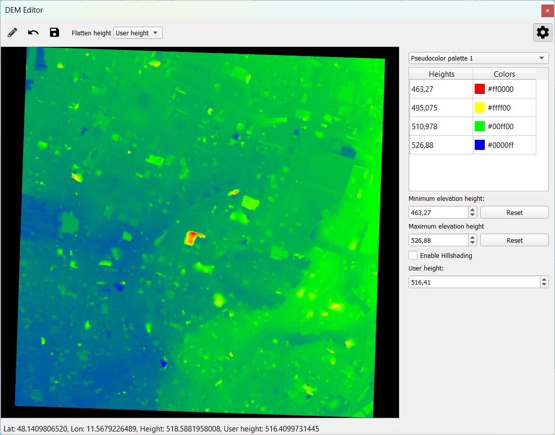
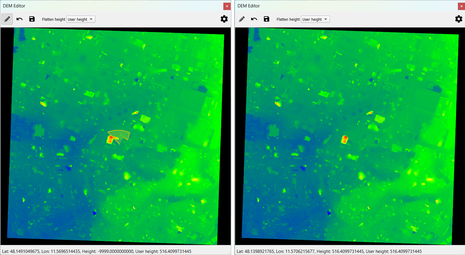
The tool allows users to review and edit the DEM to make localized terrain adjustments. Elevation is visualized using a customizable color palette that can be stretched to user-defined minimum and maximum values. Hillshading is available as a display style option to improve the legibility of terrain.
Supported format
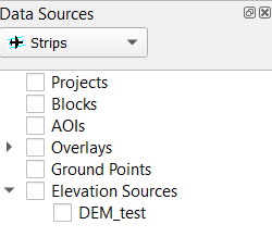
DEM Editor supports display and editing of DEM formatted as a HxMap Elevation Source (.hexes). HxMap Elevation Source is automatically created during DEM product generation.
-
HxMap Elevation Source consists of a header file, footprint index, and elevation data stored in 32-bit float GeoTIFF files
-
To convert existing 32-bit float GeoTIFF to HxMap Elevation Source you can use command line tools from the HxMap install folder
-
Generate minification for each GeoTIFF: >imagetool --minify=overview --min_ext tif.ovr --input Z:/tmp/DEM_test/2020_Munich_0.tif
-
Create the elevation source: >multielevationtool --directory Z:/tmp/DEM_test --coordSysDescr "EPSG Coordinate Systems/ETRS89 / UTM zone 32N (25832)|metres|EGM08 - West Europe|metres" --tiff
-
-
The necessary coordinate system description string needed for multielevationtool is most easily found by creating a HxMap block with the coordinate system and then copying the string from the resulting .hexbk file’s coordinate system description tag
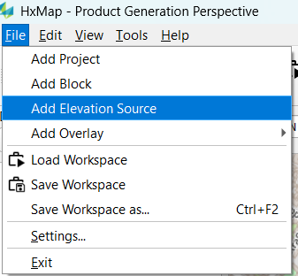
Enable DEM Editor
To enable the DEM editor view in HxMap Workflow Manager, add the following to the HxMap.ini:
[ProductGeneration]
dem_editor_enable=true
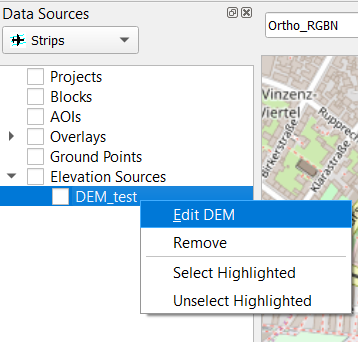
Edit the DEM
|
Step |
Example |
|---|---|
|
|
|
|
|
|
|
|
|
|
|
|